Where Your Waterfront Really Begins: Understanding Smith Mountain Lake’s 800-Foot Contour
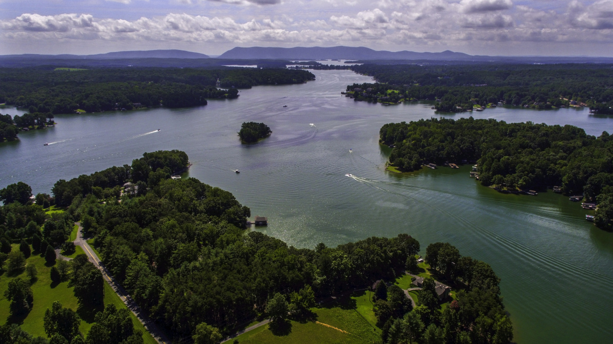
Buying a waterfront property at Smith Mountain Lake feels like you’ve found a slice of lakeside paradise, but what actually controls your access starts at an invisible line: the 800-foot contour.
Everything below this contour is regulated by Appalachian Power’s Shoreline Management Plan, so while you may enjoy water views and lake access, improvements like docks, riprap, or paths require permits. Many owners are surprised to learn that even if a dock or path has been there for years, any upgrades or modifications still trigger today’s permitting process. A licensed surveyor will map property boundaries, including both the 795- and 800-foot contours, making this a crucial step before buying or selling.
Don’t assume a waterfront deed is a ticket to unrestricted shoreline use. Title reviews should confirm your specific shoreline frontage, existing dock rights, and any easements or “grandfathered” uses. It’s common for new buyers to realize too late that their plans for a new dock or path aren’t allowed or that public access rules prevent private restrictions over the waters beyond your dock.
If you’re considering a home at Smith Mountain Lake, understanding where your private property ends and regulated shoreline begins is key. Reach out to make sure your next move aligns with current shoreline rules and your vision for lake life.
Resources
- Appalachian Power Shoreline FAQs
https://www.smithmtn.com/shoreline/faqs/ - Occupancy and Use Permit Application (Low Density Uses)
https://smithmountainproject.com/docs/forms/Occupancy%20and%20Use%20Permit%20application%20for%20Low%20Density%20uses.pdf - Draft Shoreline Management Plan Update (April 2024 – for reference)
https://tricountylakes.org/wp-content/uploads/2024/04/04262024-DRAFT-Proposed-Update-Smith-Mtn-SMP-clean.pdf
Share This Post
| Previous Post | Next Post |